Early in October 2023 I found myself leaving my house with a backpack containing camping gear and exactly one spare set of clothes. I was on my way to Frankfurt airport to board a flight to Shanghai, with the eventual destination of Auckland, New Zealand. I set out to walk from Cape Reinga at the top of the North Island all the way down to Bluff, at the other end of the South Island, following the Te Araroa trail.
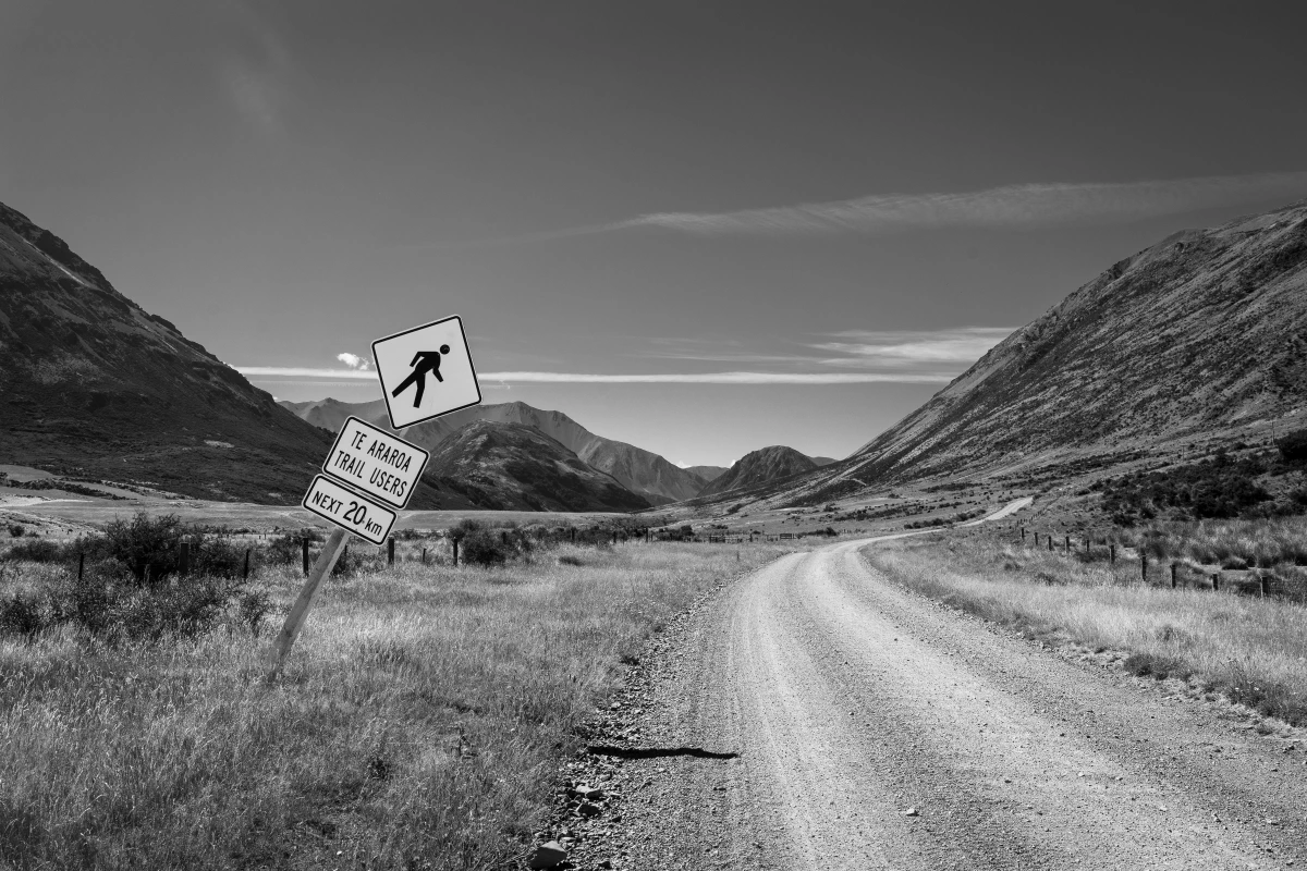
While I arrived surprisingly well rested at Auckland airport, my backpack (and thus 95% of my belongings for the next 5 months), got held back in Shanghai for “security concerns”. With the promise of it arriving in the next couple of days I checked into my cheap hotel in downtown Auckland. The two days went by in a haze of jet lag, cheap pizza and trying to organize the last few things before finally hitting the trail: a backcountry hut pass, a gas can and my transport to the trail head. I ended up taking a bus to Kerikeri and was able to substitute a no-show for the bus to Kaitaia. After some quick shopping (of way too much food), I hitched up towards the trail head.
This is a bit of a longer post, fairly randomly going into detail into some of the highlights and peculiarities of the trail. Here’s some overview of the secitons:
Te Ika-a-Māui North Island
Te Tai Tokerau Northland
Hiking across Northland was a beautiful experience. Infamous 90 Mile Beach turned out to be quite a beautiful hike. These 3-4 days of beach walking are incredibly weather dependant - but we got lucky with barely any rain, not too much sun nor too much wind.
Afterwards, we couldn’t cross infamously muddy Raetea Forst due to heavy rain during the night before - SAR (search and rescue) volunteers had already asked hikers to avoid the section due to the horrendous conditions. I’ve already heard of multiple people needing rescue after falling on the muddy trail.
Towards the end of my joruney I actually met an older hiker couple who went through the forest under these conditions not long before we were in the area – they ended up taking way longer than planned to cross the endless mud and ran out of water a day before they made it out. New Zealand trails just come with their own challenges very unlike the well-trodden paths of Europe.
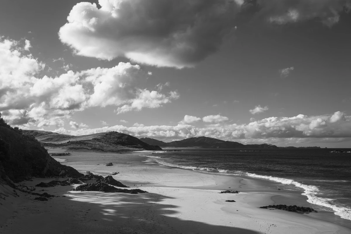
The trail in Northland is incredibly diverse. It’s got everything from beach walks, heading into the volcanic hills, along coastlines and into subtropical forests. It’s a beautiful start into a long walk. Everyone on the trail is excited, and it turned out to be a surprisingly social experience. Northland will turn out to become my favourite section of the North Island. You’re also never very far from civilization, so food carries are small and it provided a great tansition into trail life.
One downside of Northland is the many forst closures, due to Kauri dieback disease, which ravages the species. Not only do we miss out on beautiful forests, but the bypasses tend to be long road walks. At best boring, and worst dangerous.
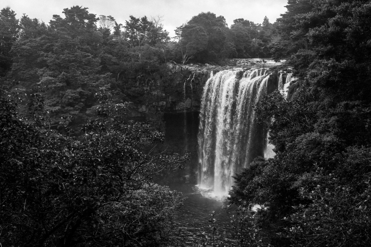
Once the trail comes closer towards Auckland there is a lot of road walking. The day before hitting Auckland proper I managed to get my achilles tendon injured and kill my phone in the rain. Thankfully another Kiwi thru-hiker invites to join foot rehab with her for a few days on Waiheke Island at her grandma’s place (thanks, Smasher!).
Due to my injury (and dislike for road walking) I ended up skipping the section from Auckland to Hamilton. Meeting people who did this section unanimously said it wasn’t worth it except for keeping their continuous line of footsteps going. I guess it depends what you came here to do. Many start out with the romantic idea of a purist thru-hike, forming a continuous line of footsteps from the trail head to its terminus. I for one quickly found out that I don’t care all that much.
The Tararua Ranges
The Tararuas ended up being another personal favourite of the Nort Island section. Located at the very southern end of the North Island, just before Wellington, they are infamous for their bad weather and muddy trails. The first couple of days were rainy as hell, without much to see (except wet forest) and I was fucking gracious about the two shelters on the way. But once I got into the Tararuas proper, the weather changed and I had a few good days to make it across the most exposed sections. The first night I stayed all by myself in beautiful Waiopehu Hut, with views of the ranges on one side and the ocean on the other.
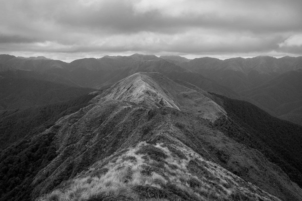
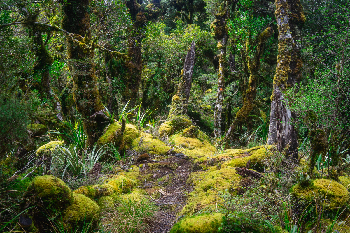
The next day was a hard, long and slow walk along the ridgelines to Dracophyllum Hut, with mystical views of the often clouded hillscapes and the mossy stunted beech forests of the Tararua Ranges. I managed to cross the very exposed section from Dracophyllum Hut to Waitewaewae Hut, via Nichols Hut, before a bad rainstorm hit. I ended up sheltering at the hut for a rest day, watching the rain, collecting firewood and reading. I was all alone that day in the hut, as it turned out that up on the hills I just crossed the weather was too dangerous to cross. A few ended up sheltering at Nichols Hut. When I left the next day my trail was basically a river for the first few hours, until it went back up over the hills to the next town.
Te Waipounamu South Island
The South Island starts really easy going with the beautiful Queen Charlotte Track – a trail so easy that you can bike it. Downside is of course that you need to organize a boat shuttle to the trail head and need to buy a pass to walk the track. But it comes with beautiful views and camp sites. For me it also was a nice change of weather, as this part of the country gets the most sunshine in New Zealand.
The Richmond Ranges
From the Pelorus River bridge the Richmond Ranges section begins. Its the longest food carry on the trail and took me eight days (including a rest/weather day in the middle). This is a spectacular route through beautiful river valleys and across exposed mountain ridges – and marks the proper beginning of the more remote parts of the trail.
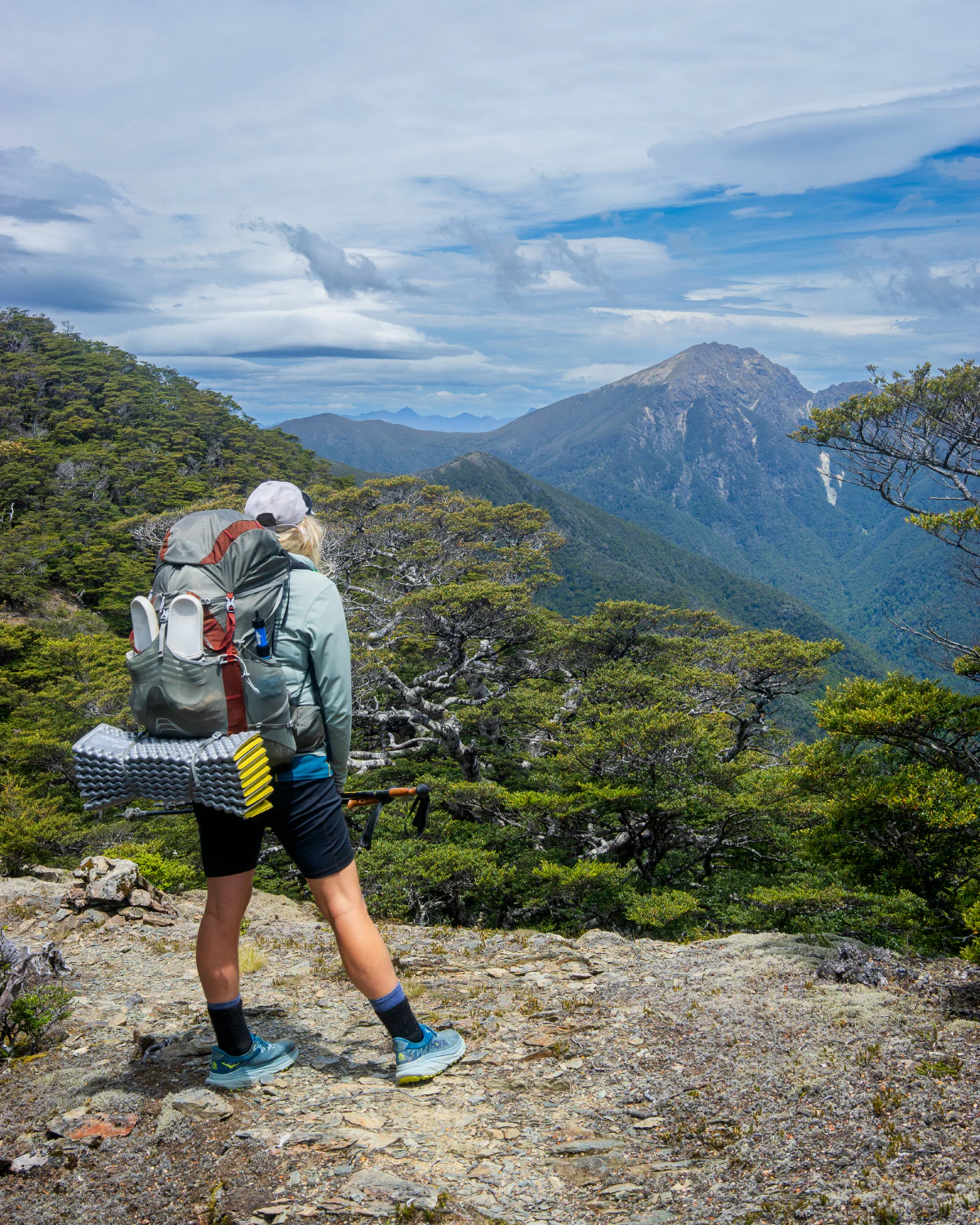
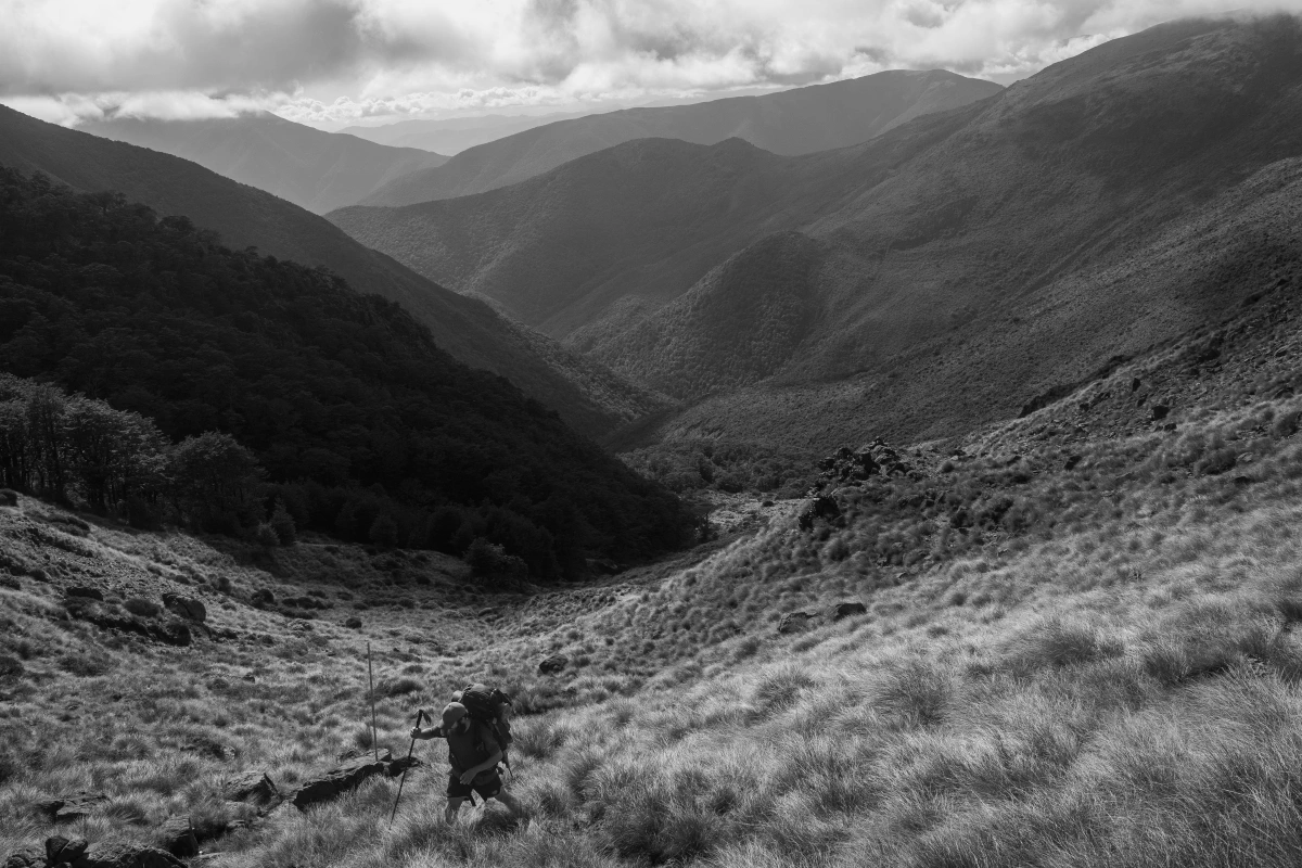
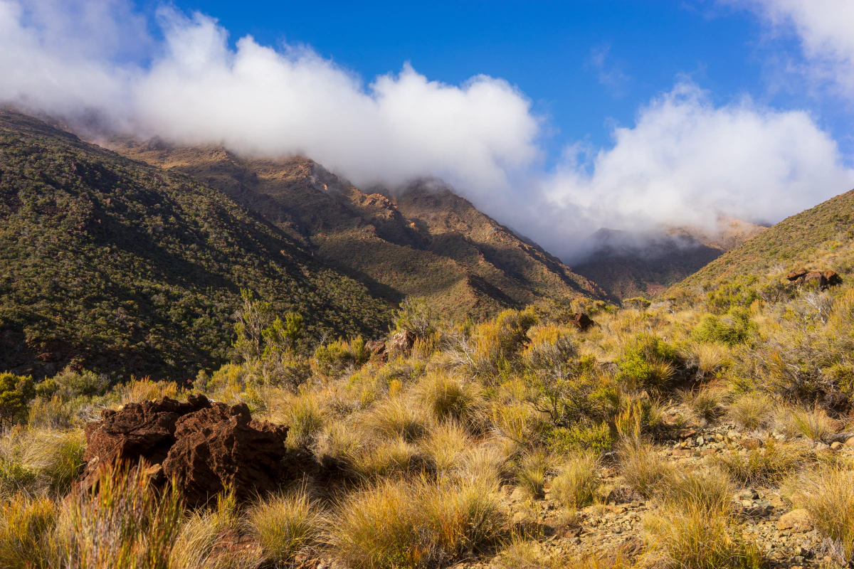
The section is infamous for its constant up and down. You walk up rivers, you hop over exposed rocks to cross Mt. Rintoul, and then across the dry red hills section, before heading out into St. Arnaud.
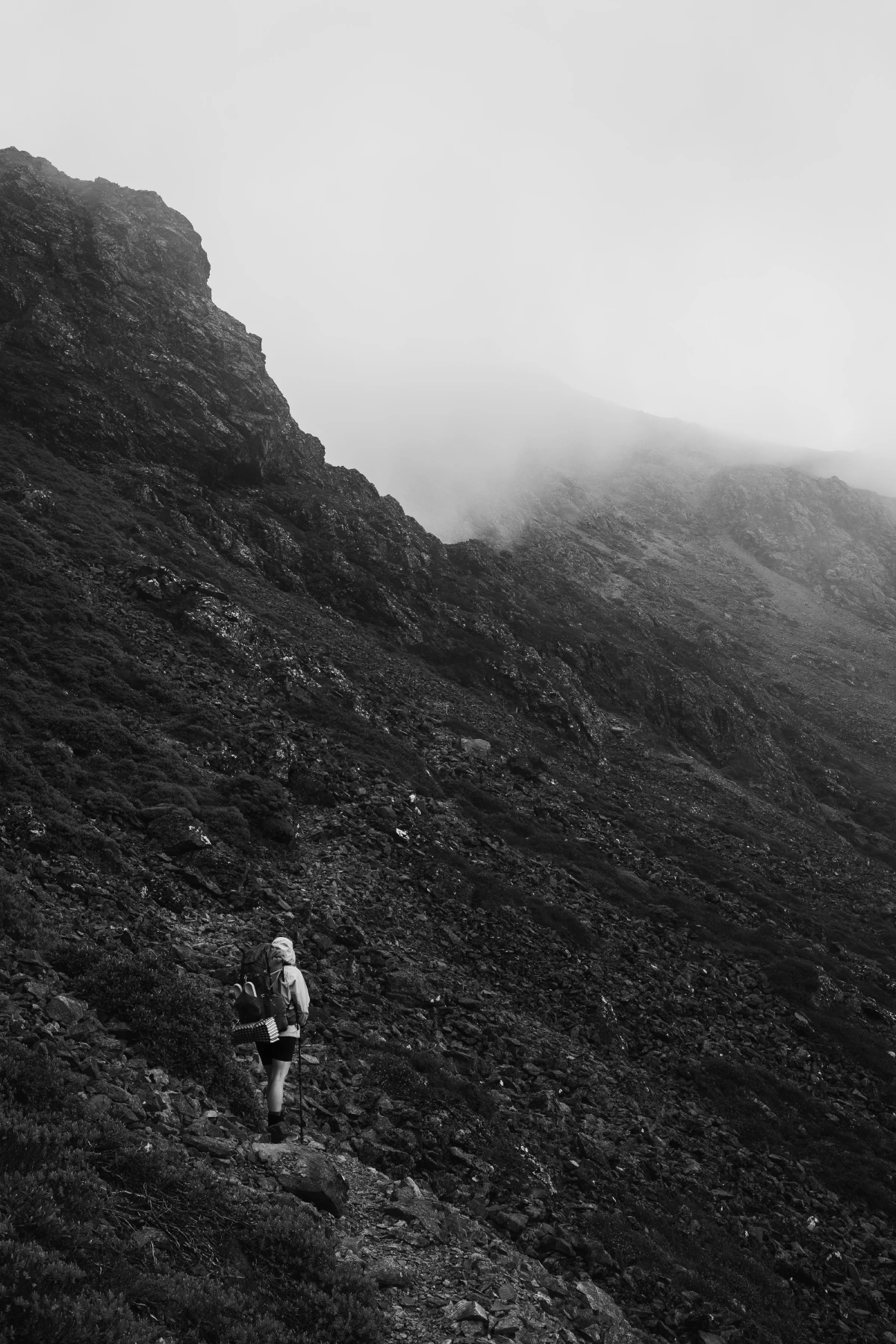
We ended up crossing the two Rintouls in the clouds, which was quite the interesting atmosphere to hop across boulders.
Nelson Lakes
Heading out of St. Arnaud into the Nelson Lakes National Park. A very beautiful section, but we had very rainy weather again. We did a long day all the way from St. Arnaurd along the big lake, up the river valley, past two huts all the way to Upper Travers Hut. Corssing Travers Saddle the next day was easy going. Eventually heavy rain started hitting, turning the valley walk up to Blue Lake Hut into a an amazing spectacle of spontaneous water falls coming out of every crevasse of the surrounding steep valley walls. After that we got stuck for one and a half days at Blue Lake Hut, over Christmas. I ended up leaving in the afternoon after the rain stopped, as the sky cleared up. Everyone else stayed behind for another night at the hut, hoping for better views the next day. I got very lucky and actually had a view of the beautiful valley across lake Constance. The next day the others went over the hill in a cloud and didn’t see a thing.
Climbing up Waiau Pass was a steep walk up a scree field, and some climbing on the other side to get back down. But overall I found the pass relatively straight forward. Of course never do it in heavy rain or wind.
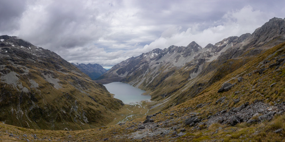
After Waiau Pass the trail descends into a beautiful river valley. I ended up camping right after the pass, as it was getting late. The next day I managed to stay ahead of the rain clouds behind me and got to Anne Hut with barely a drop.
Waitaha Canterbury and Ōtākou Otago
This part of New Zealand is just crazy beautiful. It starts out with the Harper Pass section. I went into this one alone after hitching out to resupply in Hanmer Springs. This is a section with a lot of river crossings, making it highly weather dependant. So I packed enough food to sit out some days of rain, which turned out to be a very wise thing to do.
After spending the first night at Hope Kiwi Lodge, I waited out a morning of rain before heading on towards the next hut. Shortly after arriving at Hurunui Hut it started pouring down like crazy. A group of hikers arrived, who had to turn around from their attempted crossing of Harper Pass, as the rivers shot up. But the next day started out in good weather, so I went on to check out the pass, and if necessary sit it out at one of the three huts and bivys on the way. Then I met a group of TA hikers who decided to turn around, as they were running out of food: same story, the rivers were too high the day before and the weather report said tomorrow looked even worse than before. Overconfidently ignoring these signs I pushed on up to Harper Pass Bivy, right before the first river crossing. When I arrived a helicopter was just sitting down, flying out two trail walkers who slipped and injured themselves trying to cross the river. I considered staying at the bivy, but decided to check on the river myself.
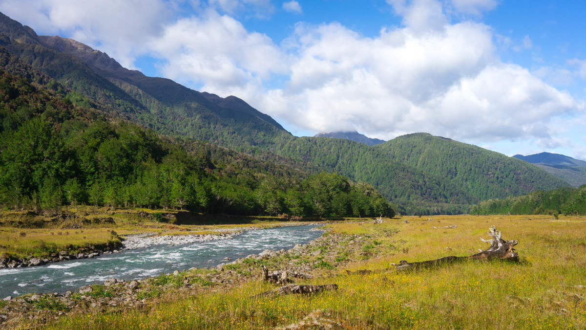
It sure looked a bit flooded but not too bad. So I found a good place to cross safely. On the way up to the pass you have to cross the Hurunui river two more times, and each one got a bit more gnarly. But I kept on pushing and eventually crossing the pass. What I didn’t know is that there was a huge land slide on the other side of the pass which swept away the trail. The river crossing there was really sketchy and I only made it by (stupidly, don’t do this) jumping from a fallen tree trunk that was lying in halfway into the river. Afterwards it took some intense bush whacking to finally make it to Locke Stream Hut. I was never more happy to see the sign promising me the hut was right around the corner. That day was decidedly too much adrenaline.
Afterwards it got much easier. After reaching Arthur’s Pass road, I hitched a couple of rides to get to Greymouth for resupply. I ended up getting picked up by a super friendly retired Kiwi who took me all the way to the supermarket and offered me to stay at his place! The next day he put me back in a nice spot to hitch back to trail – another great example of the awesome Kiwi hospitality.
The next section included crossing/circumventing the two largest braided rivers of New Zealand: the Rakaia and Rangitata. Crossing these rivers is actually not part of the trail, as it can be super dangerous. Crossing the large river beds can take hours and the river can flood very quickly if it rains heavily somewhere in their catchment areas.
As I dislike the thought of shuttle services on a trip like this, I ended up hitching three out of the four river bypasses. I ended up joining others on their fairly priced shuttle for getting back to the trail head after the Rangitata. That one is likely the most difficult to hitch, as its very far (70+ km) up an isolated dead-end road that doesn’t see much traffic at all.
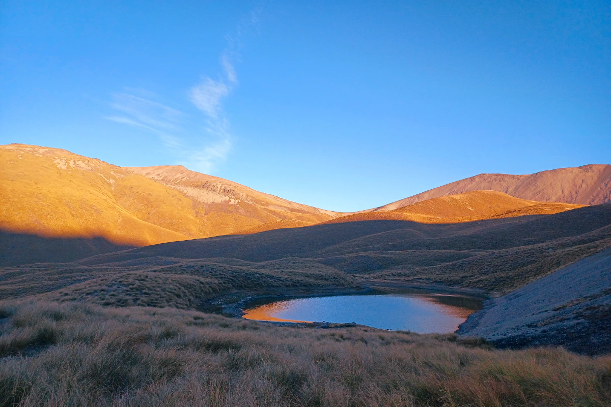
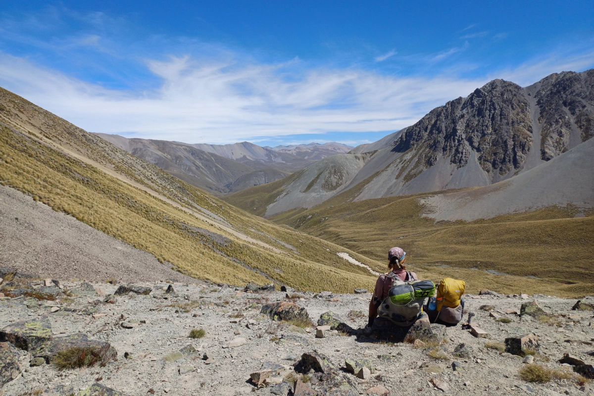
Its difficult to describe the beauty of this section. Often you see just dusty yellow colors as far as you can see in any direction. Coming from (for now) lush green central Europe, it felt almost like an alien place. And there is often no chance of shade, so it gets hot during the day. But it can cool down significantly during the night.
With an elevation of 1925m, Stag Saddle is the highest point on the Te Araroa. This section from the Rangitata to Lake Tekapo is easy going with amazing views, and thus an absolute highlight of the trail – in good weather. After cresting the saddle, you have the options to go into the valley, or take a long ridge walk with views of the central alps and with Lake Tekapo getting closer in the distance. This can be a dangerous section in high winds, but one of the best walks of the trail when calm.
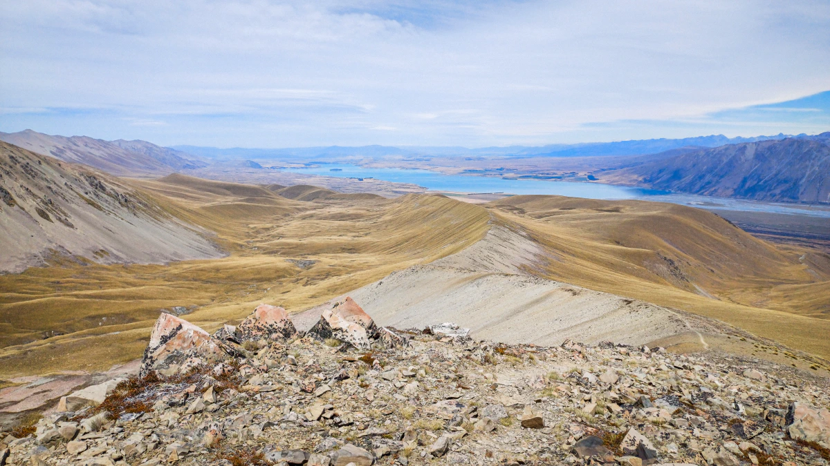
After Lake Tekapo you head into the dry planes. Lots of people hire bikes and do the trip in a day. Others go hardcore and do 50+ km days. I decided to walk and got sick for the first time on the trail. I can tell you that doing a 33 km day with a fever is not fun, but doable. Thankfully it was only a few more kilometers the next day to get to a road, where I hitched out to Twizel. After a few days of rest I was back up again and ready for the next section to Wanaka.
From Twizel the trail takes you along Lake Ohau towards the Ahuriri River. We thankfully managed to cross the river safely, so we didn’t have to do a 10 km detour to a bridge. After a night of solid rain at Top Timaru Hut, the Timaru river beckoned. This was one of my toughest days on trail. The river was grey from clay and quite flooded already. On one sketchy section I slipped from the trail down a steep slope and thankfully managed to catch myself on a small tree. I can only tell you that you probably underestimte how quickly gravity accelerates you downwards. Thankfully I only sprained one finger trying to catch myself and was able to walk on just fine. We only managed to do the last river crossing of the day as a team, and then headed up a long climb to the hut. It was telling that I didn’t overheat on the climb with full rain gear on. I was definitely a little hypothermic from spending the day in the rain and constantly in the river. And it was getting colder. When we arrived at the hut, there was snow on the hills just above us. I could have never been more grateful for such a windy tin shed with a dirt floor – and a fireplace. The next morning was freezing cold, but sunny and beautiful. It was a perfect day to take in the view from Beast Hill and descending down to Lake Hāwea and Wanaka.
After getting my third and final pair of shoes in Wanaka, we headed around Lake Wanaka, across the Motatapu Track.
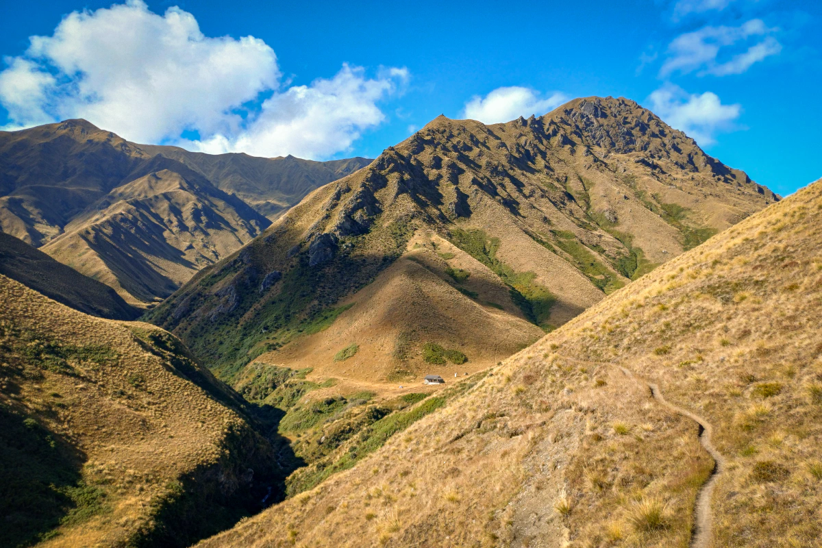
It’s definitely one of my favourite sections of the trail. Its a constant hard up and down across exposed tussock hills, but with beautiful views, beautiful huts and beautiful rivers. If weather allows it, I can highly recommend walking out through the Arrow River towards Arrowtown.
Murihiku Southland
Southland was a surprisingly nice place to hike. Sure, there is a lot of dirt roads and farmland to cross – and some days of traversing annoying tussok fields. But after all the long weeks of walking through the hot dry hills of the central South Island, it was nice to see some green again. The horror stories of crossing Mount Linton Station, an active sheep farm, were completely unfounded – it was actually a fairly nice walk. And there was also just an excitement in the air, with the end of the walk slowly coming into view.
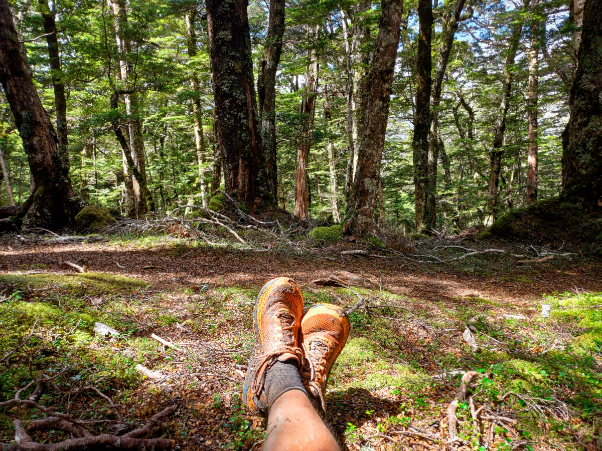
And then there were the Longwoods. Infamously muddy, they (mostly) lived up to their reputation. We decided to camp just at the end of the road before the start of the Longwood trail, to get an early start on the section and complete it one day. I set off at 6am into the dark forest and basically jumped into the first puddle of mud to just get it over with. Afterwards I just had a blast. The early sun was shining fantastically through the lush, moss-covered forest. And I just embraced the mud slipping and sliding. Over 12 hours I frequently decended into thigh deep mud pools – and weirdly enjoyed it. It was the last proper trail before the end.
The End of the Road
The last day was a really odd one. We stayed at a cheap campsite just outside of Invercargill. I set off at 6am to get to Bluff early enough. It’s funny how the trail basically ends how it started – with a long road walk. But it was an overcast, mild day, which made for easy as walking. So the 44km of walking to the southern terminus of Te Araroa went by quickly and I finished my journey at 4pm.
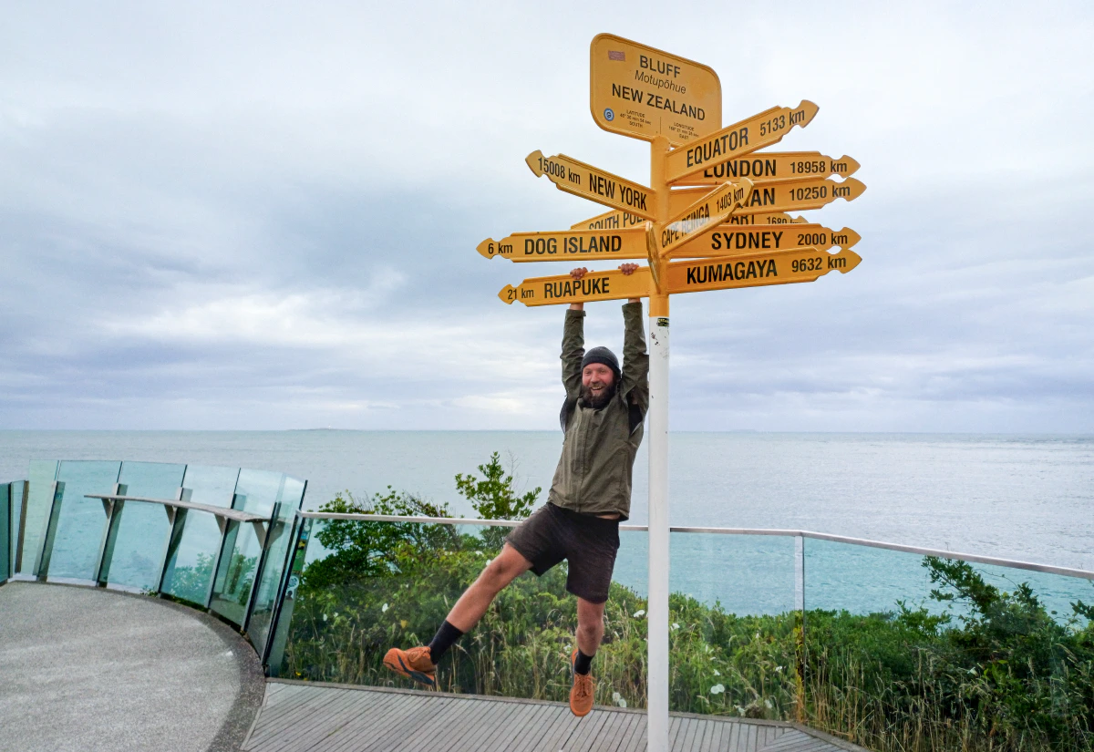
I expected some strong emotions to surface at the end. Maybe intense joy of completing this long journey, or sadness about it ending – or probably both. But actually after a little celebration with the others I just felt quiet and tired. And satisfied.